Free Printable US Map Outlines
Explore the geography of the United States with our collection of free printable US map outlines. Perfect for classrooms, homeschool lessons, student projects, or anyone learning about all 50 states. Choose from blank maps, simple outlines, or labeled versions ready to print and use as worksheets or study guides.
All maps are completely free to download and print - just click, save, and start exploring the United States!
What You’ll Find on This Page
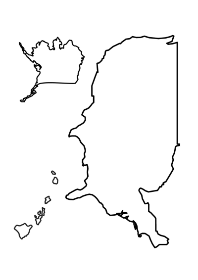
- Blank outline map of the United States (A4)
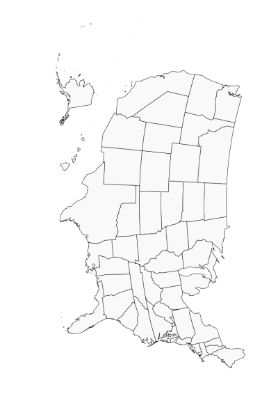
- Maps with state borders only
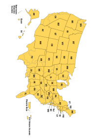
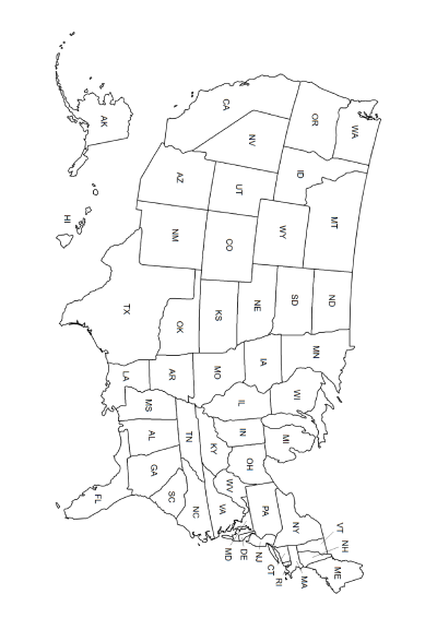
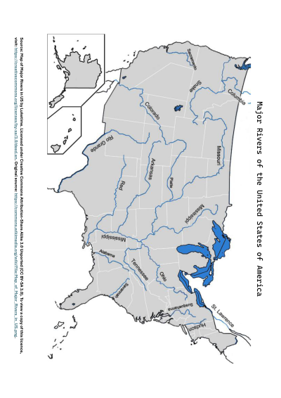
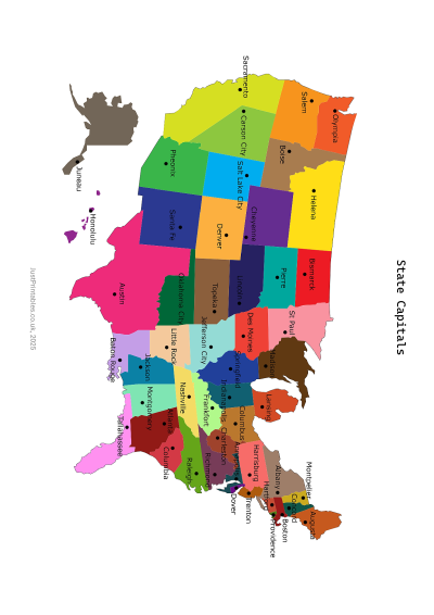
- Labeled U.S. maps with state names and major rivers
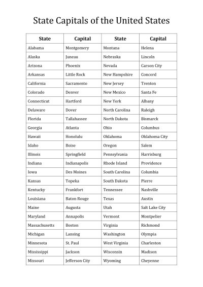
- A list of state capitals
- Simple map outlines for reference, homework, or projects
- PDF files - easy to print at home or school
Download and Print Your Free US Maps Below
About These USA Maps
The United States is made up of 50 states and a wide variety of landscapes, from coastlines to mountain ranges. Our printable map outlines give students, teachers, and parents an easy way to study U.S. geography. Use them for labeling practice, coloring projects, quizzes, or as a handy reference sheet.
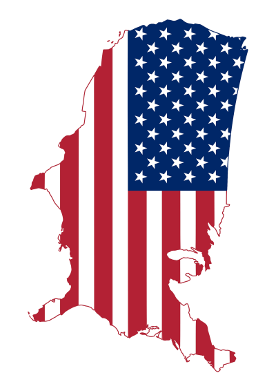
Looking for more patriotic printables? Try our flag cut-outs or flag bunting!
Frequently Asked Questions
Are these US map outlines really free?
Absolutely! All of our printable US maps are free to download and print. Most of the maps use public domain images, making them perfect for teachers, students, and homeschooling families.
Do any maps require attribution?
Yes, one of our maps - the Map of Major Rivers in the US by Luketime - is licensed under Creative Commons Attribution-Share Alike 3.0 (CC BY-SA 3.0). Please give proper credit if you use or share this map.
What paper size works best for printing?
You can print these maps on A4 or letter-size paper. For classroom use or longer-lasting projects, heavier cardstock is recommended.