Free Printable Blank Maps of the UK
Explore our collection of free printable blank maps, available as high-quality A4 PDF files. These maps are ideal for teachers, students, homeschoolers, and geography enthusiasts, providing a clear way to visualise the geography of the British Isles.
Whether you're running a classroom lesson, helping with homework, or creating educational worksheets, these outline maps make learning interactive and hands-on.
You can use these blank maps for a variety of activities, including quizzes, geography games, and revision exercises. The maps are versatile and easy to print, allowing you to colour, label, or annotate them as needed. Whether for personal study, school projects, or fun educational activities at home, these free printable maps are a simple yet powerful learning tool.
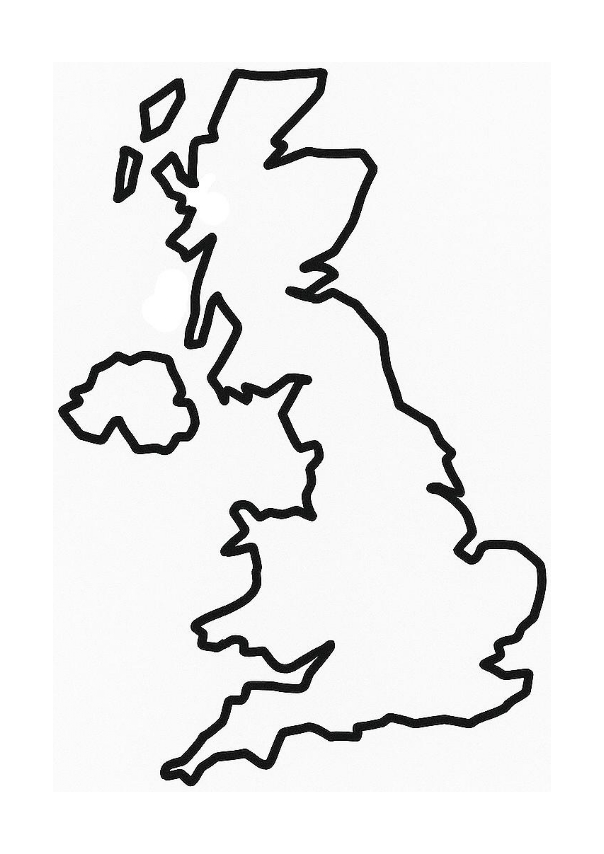
Each printable map is presented in a clean, easy-to-use layout designed for A4 printing. These are blank outline maps with no labels - ideal for classroom geography exercises, exam prep, revision worksheets, and hands-on activities such as labelling countries, capitals, rivers, and regions. Great for all key stages and home learning environments.
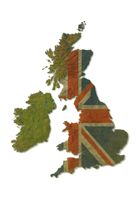
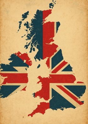
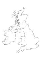
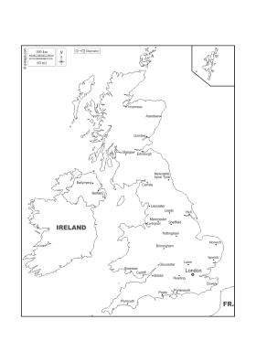
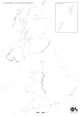
This free resource includes three different versions: a blank map of the UK and Ireland, a map showing only the United Kingdom, and a simplified outline of mainland Britain (England, Scotland, and Wales). The simple black-and-white format makes these maps easy to photocopy, colour in, or pin to a wall.
No registration or email is needed - just click, download, and print. These printable maps are entirely free to use for personal, educational, or homeschool purposes.
Maps of the UK
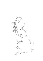
- Blank map of the United Kingdom and Ireland – includes all countries of the British Isles
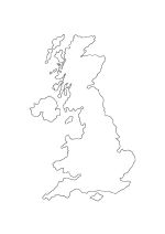
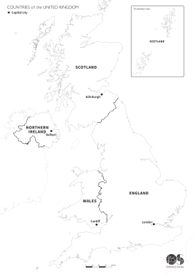
- Blank outline map of the United Kingdom – England, Scotland, Wales, and Northern Ireland
- Blank map of mainland Britain – ideal for simplified lessons or colouring activities
- All maps available as downloadable A4 PDFs for easy printing
- Minimalist, black-and-white line style for labelling and geography work
- Great for school projects, worksheets, map quizzes, wall displays, and homeschool resources
- All the maps on this page are in the public domain
Whether you're building a geography binder, assigning labelling exercises, or setting up a classroom wall display, these printable maps are a versatile and reliable option. Just download the version you need and start using it right away.
Map Downloads
Looking for more patriotic printables? Try our
British bunting and pennants
and
Union Jack flags downloads!
Frequently Asked Questions
Is this printable map suitable for school children?

Looking for more patriotic printables? Try our British bunting and pennants and Union Jack flags downloads!
Yes! These blank outline maps of the UK and Ireland are ideal for primary and secondary school students learning about British geography. Their simple, uncluttered format makes them perfect for exercises like labelling, colouring, or testing knowledge of regions, countries, and surrounding areas.
Can I use this in my classroom?
Absolutely. Teachers and tutors are encouraged to print and distribute these maps for classroom activities, homework assignments, revision exercises, or geography-themed displays. They’re great visual aids and easy to photocopy for group use.
Is it really free to download?
Yes - all of our printable maps are 100% free to download and use. There’s no need to create an account, enter your email, or subscribe. Just click the link and print as many copies as you need for personal or educational purposes.
What age groups are these maps suitable for?
These maps are designed to be useful for a wide age range. They’re perfect for children aged 7 to 16 in school, but also helpful for older students, adult learners, or anyone studying UK geography or preparing for citizenship or general knowledge tests.
Can I share this map with others?
Definitely. You’re welcome to share this resource with fellow teachers, students, homeschooling groups, or parents. You can also link directly to the download page from blogs, newsletters, or education forums.